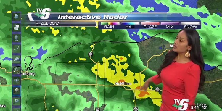
Wet & windy day from slow moving system

Rainy and windy conditions continue during the morning as a slow-moving system shifts north into southern Ontario. Southeast winds will gust 35-45mph. This could cause toppled-over items, power outages, large waves, and lakeshore flooding. Winds will weaken late in the day. Then, a lull from precipitation occurs tonight through tomorrow morning. The main low spins north of the U.P. pumping in colder air and moisture. This will cause wet snow to develop in the western half of the U.P. tomorrow afternoon into Thursday morning. Snow amounts will range from 1-3″ with isolated areas reaching 5″. More rain moves in out of the east during the day.
Today: Rainy and windy
>Highs: Low 50s inland, upper 40s along shorelines
Wednesday: Cloudy with afternoon snow and rain
>Highs: Low 40s
Thursday: Morning wet snow in the western half with rain increasing
>Highs: Upper 30s to low 40s
Friday: Mostly cloudy with lake effect rain north
>Highs: Low to mid-40s
Saturday: Mostly cloudy with spotty rain
>Highs: Upper 30s
Sunday: Mostly cloudy and seasonal
>Highs: Mid to upper 30s
Monday: Cloudy with rain and snow
>Highs: Low to mid 40s
Copyright 2024 WLUC. All rights reserved.


