WEATHER ALERT
ENVIRONMENT CANADA
*************************
Issued at 2024-06-1 8:03 p.m. by Environment Canada:
Severe thunderstorm warning issued for:
Newmarket - Georgina - Northern York Region
Midland - Coldwater - Orr Lake
Orillia - Lagoon City - Washago
Barrie - Collingwood - Hillsdale
Innisfil - New Tecumseth - Angus
Severe thunderstorm warning ended for:
Owen Sound - Blue Mountains - Northern Grey County
Current details:
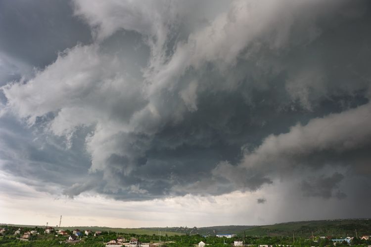
At 8:03 p.m. EDT, Environment Canada meteorologists are tracking a line of severe thunderstorms capable of producing very strong wind gusts and up to nickel size hail.
This line of severe thunderstorms is located from 9 kilometres northeast of Rathburn to Colbeck, moving east at 80 km/h.
Hazards:
110 km/h wind gusts
Up to quarter size hail
Risk of a tornado
Locations impacted include:
Orangeville, Barrie, Orillia, Shelburne, Alliston, New Tecumseth, Bradford, Innisfil and Beaverton.
Large hail can damage property and cause injury. Strong wind gusts can toss loose objects, damage weak buildings, break branches off trees and overturn large vehicles. Remember, severe thunderstorms can produce tornadoes.
Lightning kills and injures Canadians every year. Remember, when thunder roars, go indoors!
Emergency Management Ontario recommends that you take cover immediately if threatening weather approaches.
Severe thunderstorm warnings are issued when imminent or occurring thunderstorms are likely to produce or are producing one or more of the following: large hail, damaging winds, torrential rainfall.
Please continue to monitor alerts and forecasts issued by Environment Canada.
To report severe weather in Ontario, send an email to [email protected] or tweet reports using #ONStorm.
For more information: https://www.ontario.ca/page/be-prepared-emergency.
*************************


